- +385 (0)20 813 619
- Obala 3 br. 19, Vela Luka
26°C 
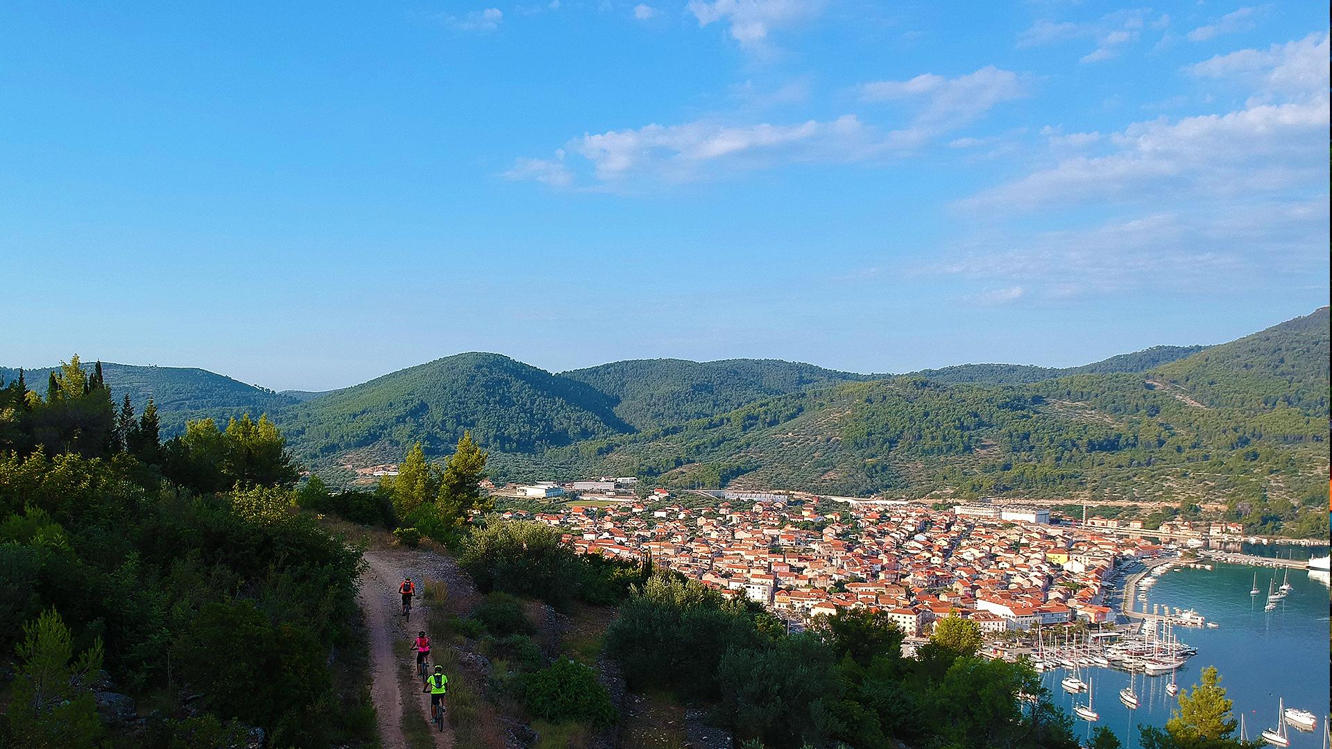
Meet island landscape – fields, hills, bays, forests and a few cave
The route starts at the east entry to Vela Luka, in close proximity to the oil refinery and Zlokić ethnographic collection. Through olive groves and vineyards, along picturesque fields in karst between island hills, we gradually ascent towards a pass, from which a view of Hvar and Biokovo opens up. Attractive serpentine roads take us to the north side of the island of Korčula. We follow the route above the sea in the shade of thick pine and oak forest. After a short but steep ascent we head back towards Vela Luka, by exiting above the town itself. We pass next to the famous archeological site Vela spila and descend back to town, all the while enjoying the panoramic view of town below us.

start/finish Vela Luka
via: Sprtišća - Privor - Vela Spila
lenght: 13.9 km
Ascent/descent altitude: +434 mnv, -420 mnv
Physical difficulty:: 1/3
Surface: asphalt/gravel road: asfalt, makadam
technical difficulty: 1/3


